Geography Teaching Resources for 3rd Grade
- Free Plan
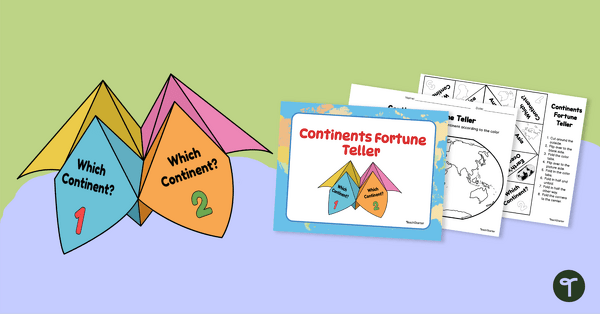
7 Continents Fortune Teller
Use this Continents of the World fortune teller and summary sheet as a fun geography review activity.
- Free Plan
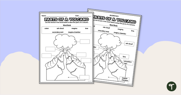
Diagram of a Volcano - Labeling Worksheet
Label the diagram of a volcano with a printable volcano worksheet.
- Free Plan

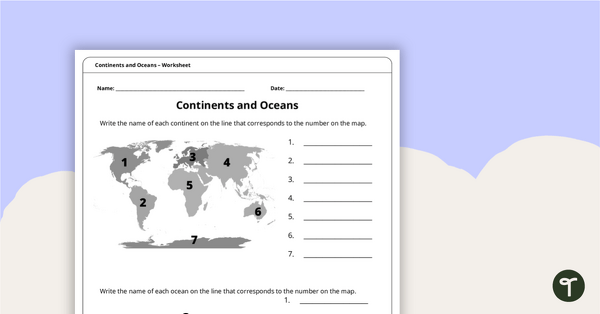
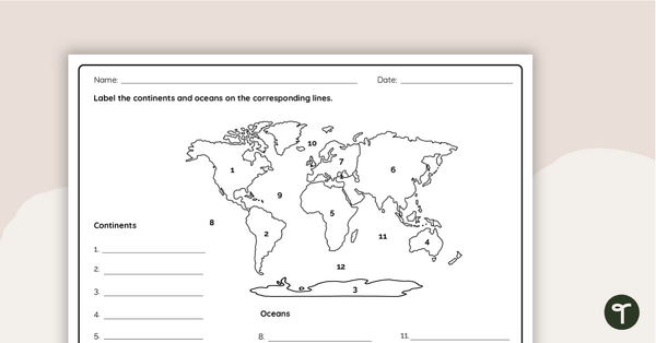
Labeling the Continents and Oceans Worksheets
Turn geography into a fun and educational learning experience by using our free Continents and Oceans worksheets!
- Free Plan
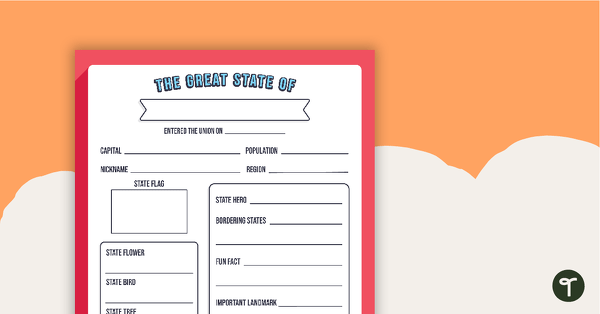
The Great State Of... State Research Template
A free template for students to identify important aspects of their state.
- Free Plan
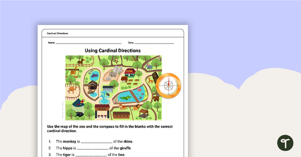
Free Map Skills Worksheet- Using Cardinal Directions
A worksheet to practice using cardinal directions.
- Free Plan
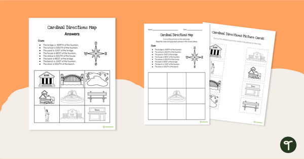
Cardinal Directions Worksheet for First Grade
Use cardinal directions to create a simple town map with this 2-page cut-and-paste activity sheet.
- Plus Plan
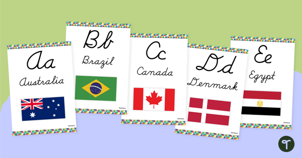
Flags of the World - Classroom Alphabet Line
Display the alphabet in print or cursive with a unique Flags of the World Alphabet Line.
- Free Plan

Free U.S. Mountains, Rivers, and Land Features Worksheet
Apply knowledge of the major U.S. land features, mountains, and rivers with a map labeling worksheet.
- Plus Plan

Using Coordinate Grids-Map Skills Worksheets
A set of 13 worksheets to help teach map skills to students.
- Plus Plan

13 Colonies Map — Labeled
Build understanding of Colonial America with a labeled 13 colonies map for the classroom.
- Plus Plan

Looking at Landforms Worksheet
Identify the major landforms of the world with a labeling worksheet.
- Plus Plan
Continents and Oceans Worksheet
A worksheet to practice identifying the 7 continents and 5 oceans.
- Plus Plan
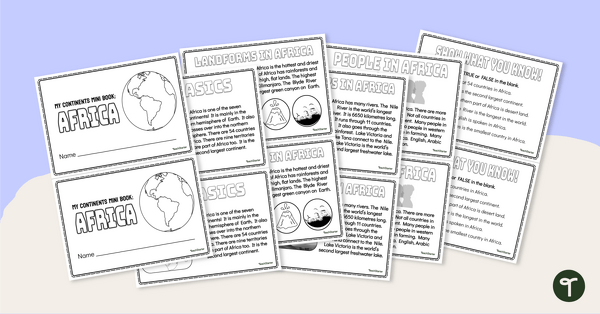
The Continent of Africa - Mini-Book
Explore the wonders and delights of the continent of Africa with this informative printable mini-book.
- Plus Plan
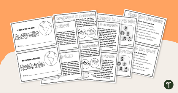
The Continent of Australia - Mini-Book
Explore the wonders and delights of the continent of Australia with this informative printable mini-book.
- Plus Plan
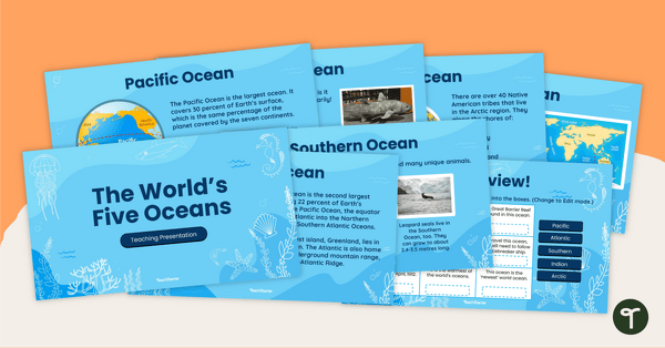
The World's Five Oceans - Instructional Slide Deck
Explore the world’s five oceans with this comprehensive slide deck.
- Plus Plan
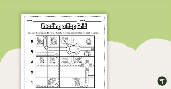
Reading a Map Grid Worksheet
Develop elementary grade map skills with a coordinate grid worksheet.
- Plus Plan
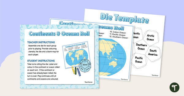
Continents and Oceans Roll and Color Game
Learn to identify the continents and oceans of the world with a Continents and Oceans Roll and Color Game.
- Plus Plan
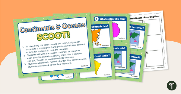
Continents and Oceans Scoot! Game
Learn to locate and identify the continents and oceans on Earth with a game of SCOOT!
- Free Plan
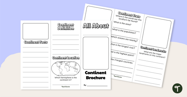
World Continents Brochure Template
Replace your continents worksheets with a printable continents brochure project.
- Plus Plan
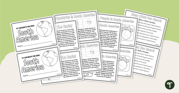
The Continent of South America - Mini-Book
Explore the wonders and delights of the continent of South America with this informative printable mini-book.
- Plus Plan
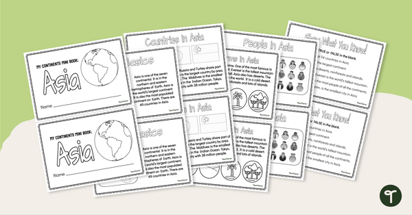
The Continent of Asia - Mini-Book
Explore the wonders and delights of the continent of Asia with this informative printable mini-book.
- Plus Plan
Where in the World? - Worksheet
Practice labeling the continents and oceans on a map with this worksheet.
- Plus Plan

World Biomes Map
Locate and explore the different biomes of the world with this engaging classroom poster.
- Plus Plan

Printable Map of Native American Tribes of North America
Print and use a detailed map showing the regions of native American tribes.
- Plus Plan
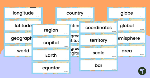
Geography Vocabulary Word Wall Cards
Print a set of 100 geography-related vocabulary word cards for a word wall.
- Plus Plan
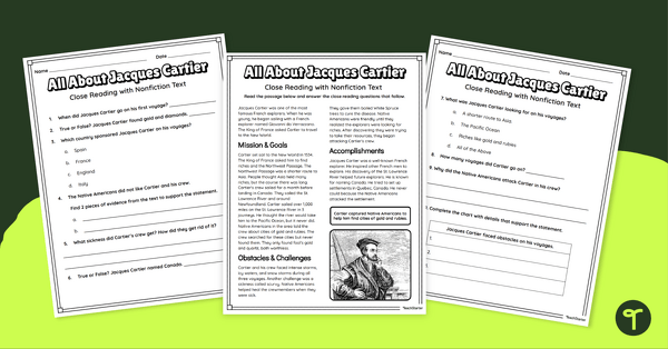
Jacques Cartier Comprehension Worksheets
Travel back in time to the Age of Exploration with a look into the life and accomplishments of Jacques Cartier.
- Plus Plan
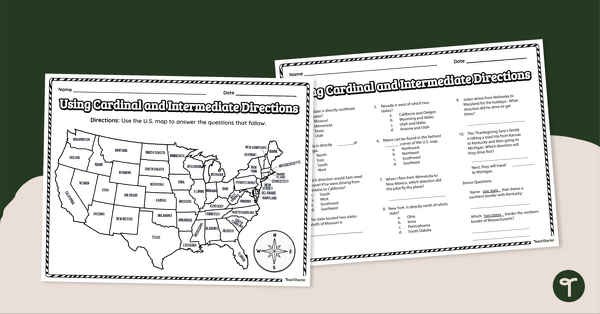
Using Cardinal and Intermediate Directions Worksheet
Use cardinal and intermediate directions to determine locations around the United States with a map reading worksheet.
- Plus Plan

13 Colonies Map Labeling Worksheet
Locate and identify the 13 original colonies of the United States with a map labeling worksheet.
- Plus Plan

Google Interactive - Regions of the United States
Practice identifying states in the five regions of the United States with a Google Interactive activity.
- Plus Plan
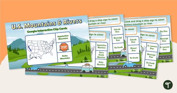
U.S. Mountain and River Interactive Clip Cards
Identify the major rivers and mountains in the United States with a set of Google Slides interactive clip cards.
- Plus Plan
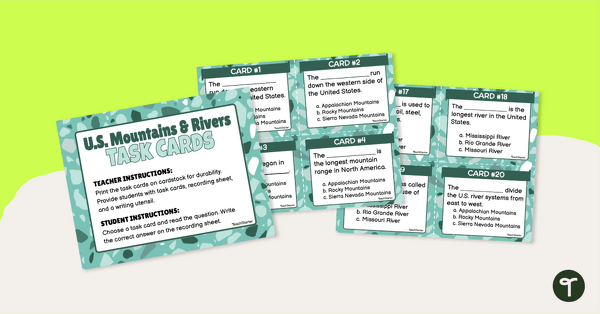
U.S. Mountains and Rivers - Task Cards
Identify the major mountain ranges and rivers in the United States with a set of descriptive task cards.
- Plus Plan
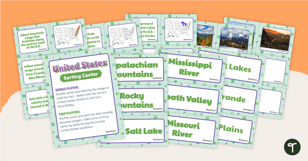
U.S. Land Features Sorting Center
Apply knowledge of the rivers, mountains, and physical features in the United States with a sorting activity.