Geography Teaching Resources
Have you been searching the world (wide web) for printable US and world geography worksheets and digital teaching resources this school year? Get ready to dive into a collection of curriculum-aligned resources created by teachers and rigorously reviewed by the expert teachers on the Teach Starter team!
Meet Common Core and state-level standards with printable and digital resources designed with your lesson plans and students in mind.
Our geography resource collection takes kids of all ages on an educational journey that includes key geographic concepts such as learning cardinal directions, understanding the difference between longitude and latitude, and how to identify the 7 continents, and the 5 oceans. With fun puzzles, map skill worksheets, and teacher created-student-approved resources, students will quickly learn to embrace the world around them with our geography printables.
Geography for Kids Teaching Resources
This collection includes a large selection of map skill resources such as:
- printable world map
- free map skills worksheets
- geography board games
- assessment pieces
- free geography brochure templates
- comprehension texts
- coordinate grid worksheets
- and more!
Within this geography category, you will also find resources that support the teaching of the sub-strands, which includes:
- countries
- environments
- flags
- world landmarks
- reading and labeling maps
- me-on-the-map activities
- landform identification activities
- Plus Plan
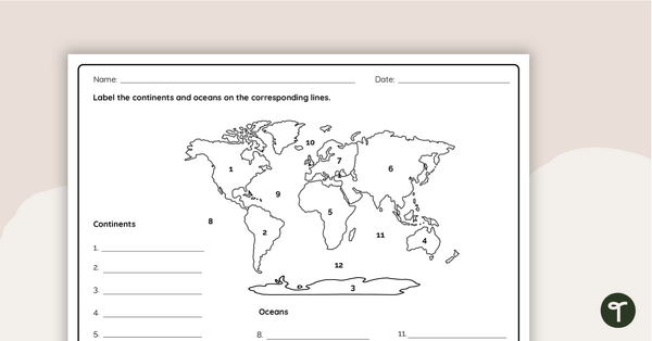
Where in the World? - Worksheet
Practice labeling the continents and oceans on a map with this worksheet.
- Plus Plan

World Biomes Map
Locate and explore the different biomes of the world with this engaging classroom poster.
- Plus Plan

Printable Map of Native American Tribes of North America
Print and use a detailed map showing the regions of native American tribes.
- Plus Plan
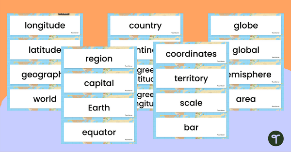
Geography Vocabulary Word Wall Cards
Print a set of 100 geography-related vocabulary word cards for a word wall.
- Plus Plan
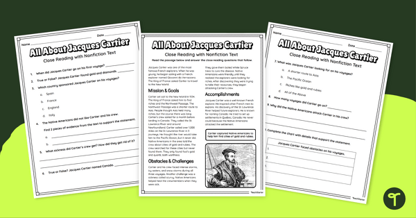
Jacques Cartier Comprehension Worksheets
Travel back in time to the Age of Exploration with a look into the life and accomplishments of Jacques Cartier.
- Plus Plan
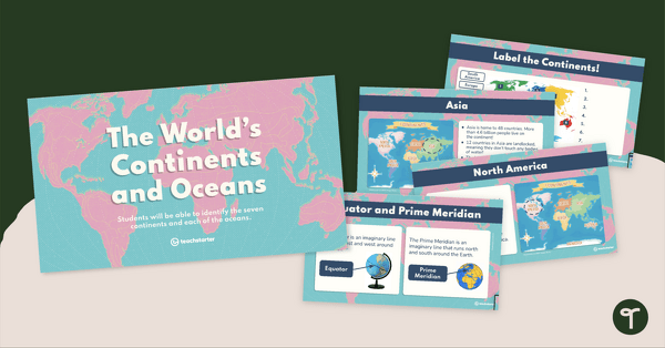
The World's Continents and Oceans Instructional Slide Deck
Explore the seven continents and five oceans of the world with this comprehensive teaching presentation.
- Plus Plan
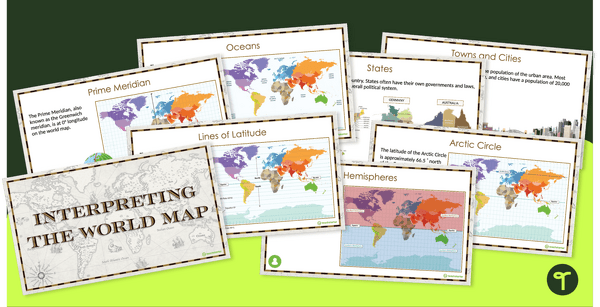
Interpreting the World Map and Map Features – Slide Deck
Explore the key map features of world maps with this 18-slide PowerPoint presentation.
- Plus Plan
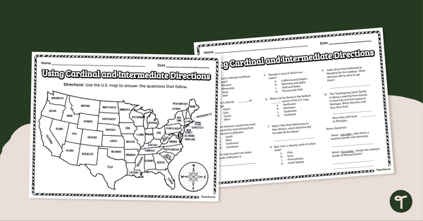
Using Cardinal and Intermediate Directions Worksheet
Use cardinal and intermediate directions to determine locations around the United States with a map reading worksheet.
- Plus Plan

13 Colonies Map Labeling Worksheet
Locate and identify the 13 original colonies of the United States with a map labeling worksheet.
- Plus Plan

Google Interactive - Regions of the United States
Practice identifying states in the five regions of the United States with a Google Interactive activity.
- Plus Plan
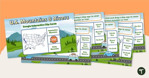
U.S. Mountain and River Interactive Clip Cards
Identify the major rivers and mountains in the United States with a set of Google Slides interactive clip cards.
- Plus Plan
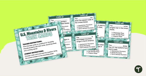
U.S. Mountains and Rivers - Task Cards
Identify the major mountain ranges and rivers in the United States with a set of descriptive task cards.
- Plus Plan
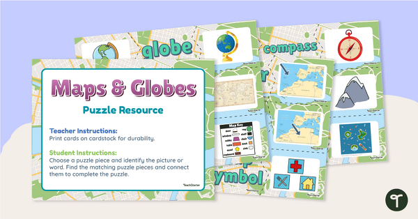
Maps and Globes Vocabulary Picture Puzzles
Make your geography lessons more fun with a set of map and globe picture puzzles.
- Plus Plan
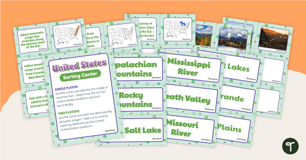
U.S. Land Features Sorting Center
Apply knowledge of the rivers, mountains, and physical features in the United States with a sorting activity.
- Plus Plan
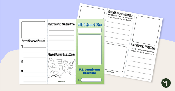
U.S. Landforms Brochure
Research and present knowledge of famous landforms in the United States with a brochure project.
- Plus Plan
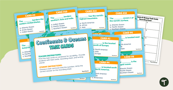
Continents and Oceans Task Cards
Practice identifying and describing the 7 continents and 5 oceans with a set of task cards.
- Plus Plan
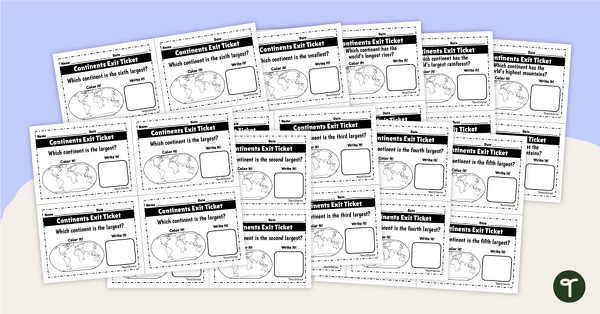
World Continents and Oceans Exit Tickets
Determine your students' mastery of Geography concepts with a set of twenty continents and oceans exit tickets.
- Plus Plan
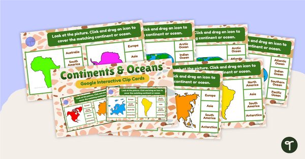
Continents and Oceans Interactive Clip Card Center
Turn geography into a digital learning experience with a Google Slides Interactive Continents and Oceans activity!
- Plus Plan
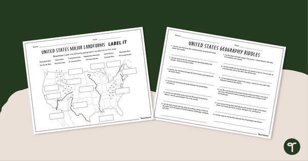
Major U.S. Land Features Worksheets
Discover and identify the major rivers, mountains, and landforms in the United States with an easy-to-use set of worksheets.
- Plus Plan
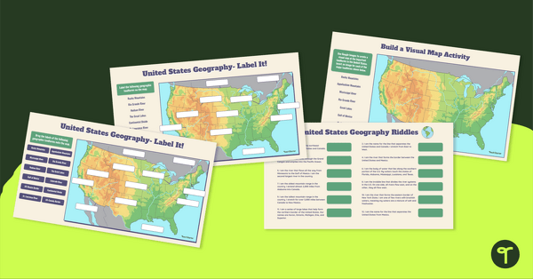
Major U.S. Landforms Google Interactive
Practice identification of the major rivers, mountains, and land features in the United States with a Google Interactive activity.
- Plus Plan
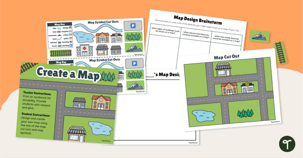
Me on the Map - City Map Project
Engage young learners in developing their map skills with a design-your-own map project.
- Plus Plan
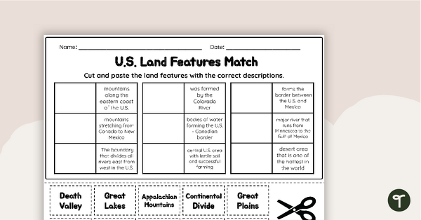
U.S. Land Features Matching Worksheet
Apply knowledge of the major U.S. rivers, mountains, and land features with a matching worksheet.
- Plus Plan
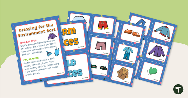
Dressing for the Physical Environment Sorting Activity
Help children learn about dressing for the environment by sorting clothing items into categories for warm climate and cold climate.
- Plus Plan
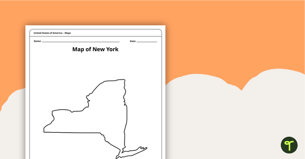
Blank Printable Map of New York
A blank printable map of New York State to use during Geography lessons.
- Plus Plan
Map of Hawaii Template
A blank map of Hawaii to use during Geography lessons.
- Plus Plan
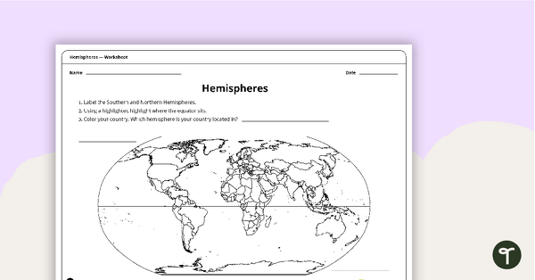
Hemispheres Worksheet
A worksheet highlighting the hemisphere, equator and country locations.
- Plus Plan
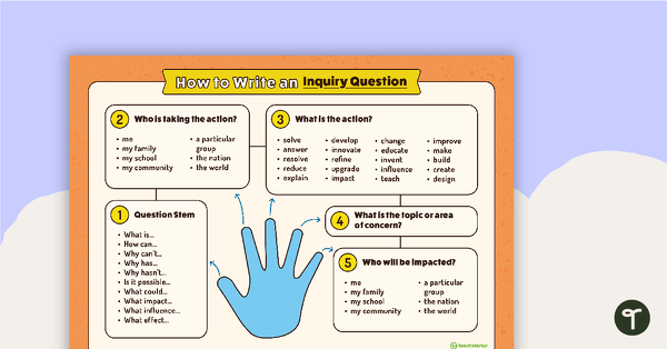
How to Write an Inquiry Question Poster
A poster demonstrating the steps involved in formulating a question for inquiry-based learning.
- Plus Plan

Blank Map of the World
Teach your students about the world’s seven continents and five oceans with this blank map of the world for labeling.
- Free Plan
Latitude and Longitude Worksheet
Use this free latitude and longitude worksheet along with Google Maps to teach your students about longitude and latitude.
- Plus Plan
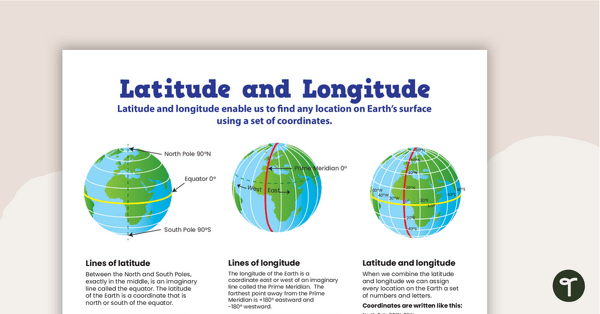
Latitude and Longitude Poster
Use this educational poster when students are learning about geographical coordinates, latitude and longitude.
- Plus Plan

Map of Washington With Counties and Capital
Download the best printable map of Washington state, including capital city and county lines, for your geography lessons.
- Plus Plan
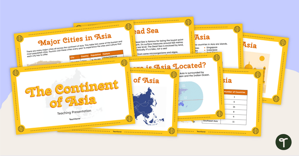
The Continent of Asia - Teaching Presentation
Familiarize your students with the physical and human geography of Asia with this comprehensive instructional slide deck.