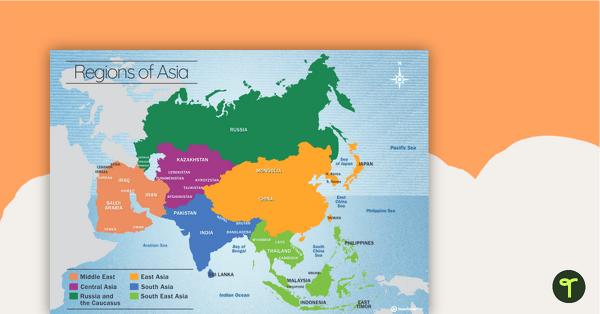
A map showing the layout, regions and major countries of Asia.
Use this map when studying the regions and countries of Asia.
Regions include:
- Middle East
- Central Asia
- Russia and the Caucasus
- East Asia
- South Asia
- South East Asia.
Updated: 25 Sep 2023
A map showing the layout, regions and major countries of Asia.
Non-Editable: PDF
Pages: 1 Page
Years: F - 7
Tag #TeachStarter on Instagram for a chance to be featured!
A map showing the layout, regions and major countries of Asia.
Use this map when studying the regions and countries of Asia.
Regions include:

We create premium quality, downloadable teaching resources for primary/elementary school teachers that make classrooms buzz!
Write a review to help other teachers and parents like yourself. If you'd like to request a change to this resource, or report an error, select the corresponding tab above.
Corrected the labelling of Mongolia to be part of East Asia.
Corrected the spelling of Israel.
Would you like something changed or customised on this resource? While our team makes every effort to complete change suggestions, we can't guarantee that every change will be completed.
Did you spot an error on this resource? Please let us know and we will fix it shortly.
Are you having trouble downloading or viewing this resource? Please try the following steps:
If you are still having difficulty, please visit the Teach Starter Help Desk or contact us .
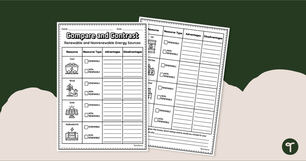
Compare and contrast different types of renewable energy sources with a printable graphic organiser.
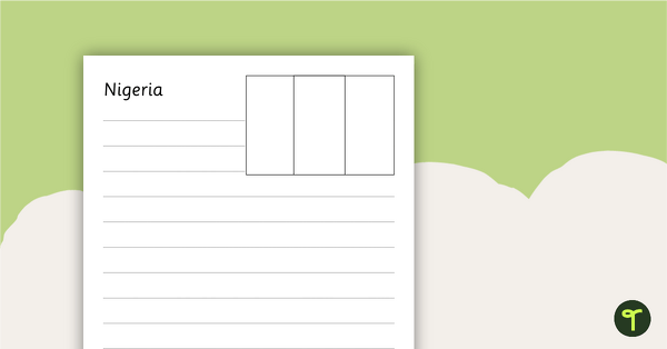
Eight black and white worksheets with flags from Africa.
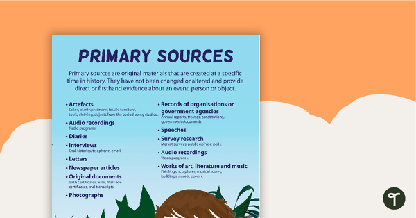
A poster providing the definition and some examples of primary sources.
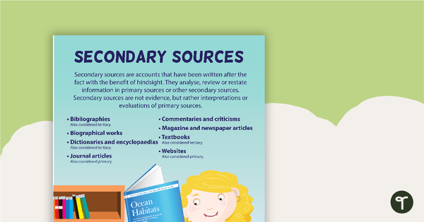
A poster providing the definition and some examples of secondary sources.
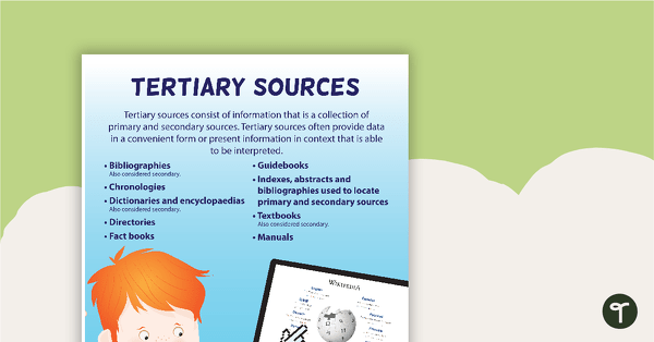
A poster providing the definition and some examples of tertiary sources.
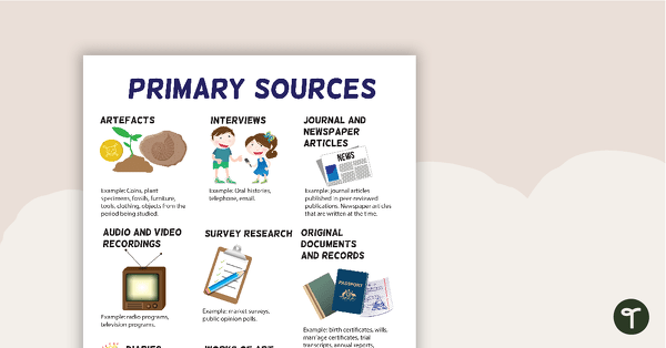
A poster highlighting some examples of primary sources.
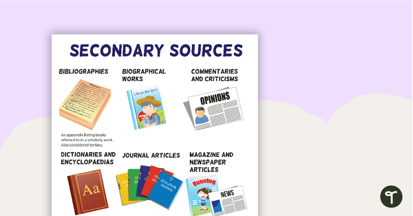
A poster highlighting some examples of secondary sources.
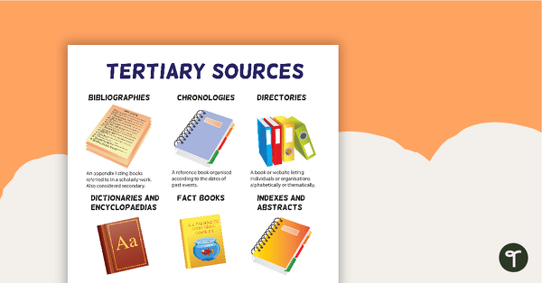
A poster highlighting some examples of tertiary sources.
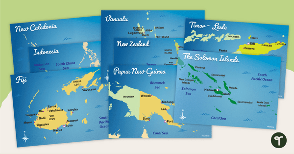
Familiarise your students with Australia’s neighbouring countries with a pack of detailed maps.
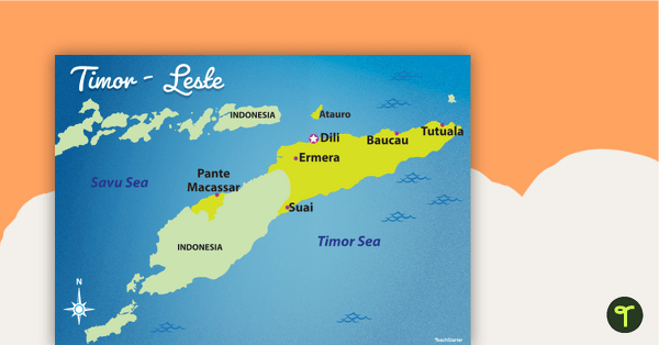
Familiarise your students with Australia’s neighbouring countries with this detailed map of Timor-Leste.
I believe Mongolia is in East Asia? This may need correcting.
Hi, Jamie. Thanks again for letting us know! I have fixed this and the resource is ready for you to download again. 😊
Thanks for pointing that out, Jamie. We'll get onto it and let you know when the map has been updated.
Do you or are you able to make similar map of the other continents? Australia, Antartica, Europe... ect I am covering 'Flat Stanley' travels the world project and having a poster for each continent would be awesome! I really like the design of this one. Amazing. Thank you!
Hi Justyn, Thanks for your suggestion. Please feel free to request a resource here: https://www.teachstarter.com/request-a-resource/ Requests are voted on by the Teach Starter community. We create the top request each week. Please let me know if you have any further questions, I'm more than happy to help. Kind regards, Kristian